
Bangalore: India will launch in June 2013 the first of the seven Indian Regional Navigation Satellite System (IRNSS) into the earth orbit to provide real-time position, navigation and time services to multiple users, the space agency chief said on Saturday.
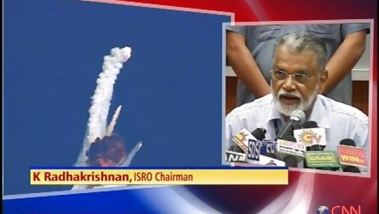
"We are preparing to launch the first of the navigation satellites constellation in June 2013 to provide position accuracy better than 10 metres over India and the region extending up to 1,500km around the sub-continent," state-run Indian Space Research Organisation (ISRO) chairman K Radhakrishnan told reporters on the margins of a space event here.
The IRNSS-1 will be launched on board the polar satellite launch vehicle (PSLV-C22) from the spaceport at Sriharikota off the Bay of Bengal on Andhra Pradesh coast, about 90 km north-east of Chennai.
The space agency plans to launch the second navigation satellite three months after in-orbit tests of the first one and the remaining five satellites over a 14-month period by 2014-15.
The IRNSS will have a space segment (constellation of satellites and signal-in-space), a ground segment and a user segment to provide multiple services on 24x7 basis under all-weather conditions to a host of users, including airlines, ships and observational posts.
"Three satellites will be placed in the geostationary equatorial orbit (GEO) at 34, 83 and 131.5 degree east and two satellites each in the geosynchronous orbit (GSO) with equator crossing at 55 and 111.5 degree east at an inclination of 29 degree," Radhakrishnan said after inaugurating a two-day symposium on the 'Saga of Indian Remote Sensing Satellite Programme: 25 years since IRS-1A', being held here this weekend.
The navigation system will have two signals in L5 and S-band on 1176.45MHz frequency and 2492.028MHz frequency with provision for downlinks.
"The constellation system provides two basic services -- standard positioning service for civilian users and restricted service for authorised users. The navigation software is being indigenously at the satellite centre in Bangalore," Radhakrishnan added.


Comments
0 comment