views
Beijing: The controversial $50 billion China-Pakistan Economic Corridor is part of China’s second scientific expedition to the 4,000-metre-high Qinghai-Tibet plateau to study changes in climate, biodiversity and environment in the region.
The expedition will also take scientists to a pass linking to south Asia, state-run Xinhua news agency reported.
The $50-billion CPEC passes through Pakistan-occupied Kashmir (PoK), over which India has conveyed its protests to China. The area covers Karakoram mountain ranges, including the Siachen glacier.
The last expedition of similar scale in Qinghai-Tibet plateau, regarded as roof of the world, was conducted in the 1970s.
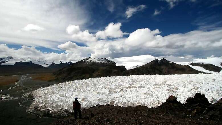
In the coming months, the Chinese Academy of Sciences (CAS) will take more than 100 scientists to the lake area and the origin of the Yangtze, China's longest river. They will be divided into four groups and make a comprehensive survey of the plateau glaciers, climate change, biodiversity and ecological changes, Yao Tandong, an academician with the CAS, was quoted as saying by the report.
"Great changes have taken place in the plateau's resources and environment since the first scientific expedition," said Yao, director of the CAS Institute of Qinghai-Tibet Plateau Research. "We need further research to find out ways to cope with these changes."
China's first comprehensive scientific expedition to the Tibet plateau began in the 1970s and covered more than 50 disciplines, including geologic structure, prehistoric life, geophysics, climate, zoology and botany, PTI reported.
Zhu Liping, a CAS researcher leading the lake observation team, said the surface of Serling Tso Lake, for example, had expanded 40 per cent between 1976 and 2009. Since 1990, water in the plateau's 1,000 lakes has increased by 100 billion cubic meters.
"The volume is equal to three times the water in Three Gorges Dam," Zhu said. The study will measure the impact on the ecology and its potential link to flooding and drought in the low-lying eastern monsoon region.
Zhu said data will be collected by scientists using automatic boats for the first time and a topographic map will be drawn.
"The plateau climate is becoming warmer and more humid," said Xu Baiqing, who is leading another team to the glaciers. The team will drill ice cores at three major plateau glacier groups. Buried in the cold interiors of glaciers, ice cores contain well-preserved and detailed records of climate change in a century.
On the archaeological front, scientists will look for evidence that can prove an earlier archaeological discovery of a Paleolithic ruins in the Serling Tso suggesting that humans might have been lived on this part of the world since some 30,000 years ago.
Archaeologists will try to answer why humans came to this plateau, where did they come from, and how did they adapt to high altitude living, according to team leader Deng Tao, deputy director of Institute of Vertebrate Paleontology and Paleoanthropology, under CAS.
A fourth team will research the biological diversity on the plateau and draw up a habitat map for preservation and tourism purposes.
A national park might be set up in Serling Tso, the report said. (With PTI inputs)


Comments
0 comment